Fort Dufferin
|
Fort Dufferin (1872-1875) - A Canadian Boundary Commission post established in 1872 as Camp Dufferin by the Canadian Royal Engineers in present day Emerson, Manitoba, Canada. Used by the North West Mounted Police (NWMP) in 1874 to stage their historic march west. Named for Lord Dufferin, then Governor-General of Canada. Abandoned by the military in 1875.
History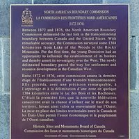 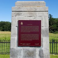 Established in 1872 by Captain Donald R. Cameron, chief commissioner of the British North American Boundary Commission Survey as a base camp, winter headquarters and supply depot. The post was built with a single two-story frame officer’s quarters, three one-story buildings, a stable, a storehouse, a cookhouse, a bakery, a workshop, and a smith-shop. The camp was used mostly during the winters when the weather prevented the survey teams from being out in the field.
North West Mounted Police (NWMP)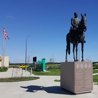 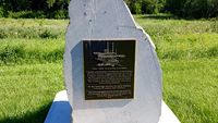 In the summer of 1874, the fledgling NWMP used Fort Dufferin to stage their historic march into the North West Territories of Canada. The NWMP left Fort Dufferin on 8 Jul 1874 under the command of Commissioner George A. French and headed toward Fort Whoop-Up the American whiskey trader's post. At La Roche Percee the column split into two columns with most of Troop "A" heading north to establish Fort Edmonton. The remainder pressed on to the Sweet Grass Hills where, after re-provisioning at Fort Benton (1), they separated into two columns. Troops "B", "C" and "F" under the assistant Commissioner, James F. Macleod headed west to Fort Whoop-Up while Commissioner French-led Troops "D" and "E" to Swan River. The mission was a success with the whiskey traders scattered and the start of law and order established in the North West Territories. In the fall of 1874, the Boundary Commission completed their survey and most of the team departed Fort Dufferin. Commissioner French of the NWMP returned from the North West Territories with elements of his "D" Troop and wintered at Fort Dufferin. The NWMP left Fort Dufferin in May 1874 for their headquarters at Fort Pelly and Fort Dufferin was left vacant. Two men died of typhoid fever at the post and were buried in unmarked graves. Captain Cameron remained at the post until the spring of 1875 to dispose of the government property and to sell the land. The Canadian government transferred the land to the immigration service to establish an immigration station for the thousands of immigrants coming into Canada. Immigrants arrived by steamboat at Fort Dufferin were processed and fanned out all across Canada. Many of the new immigrants were Mennonites from Russia who waited at Fort Dufferin while their homesteads were surveyed. Others followed the trail west blazed by the NWMP. The final use for the site came as a cattle quarantine station until it was sold to a private party in 1907.
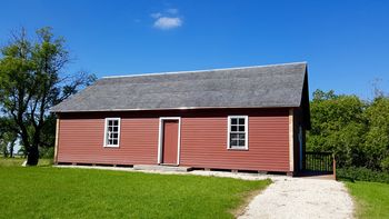
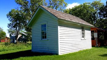
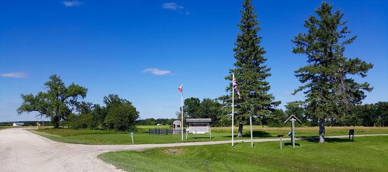
Current Status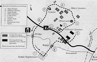 A partially restored site with some restored but modified buildings. Lots of tall grass and serious mosquitoes. Even the boundary commission complained about the mosquitos. At the nearby U.S./Canada border crossing outside the Manitoba side. At the welcome building is a statue of a North West Mounted Policeman on horseback and tribute to them on the base.
See Also: Sources:
Links: Visited: 28 Jul 2016
| ||||||
