Fort Claiborne (2)
|
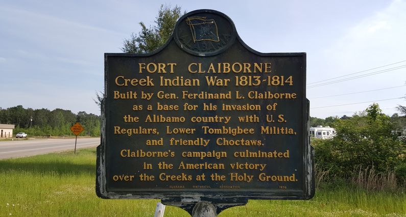
Fort Claiborne (2) (1813-1819) - A Creek Indian War Fort established in 1813 along the Alabama River near Perdue Hill, Monroe County, Alabama. Named Fort Claiborne after General Ferdinand L. Claiborne who directed the fort construction. Abandoned in 1819.
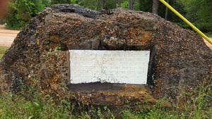
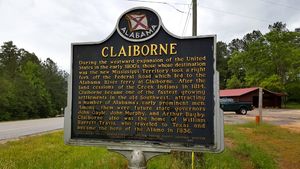
History of Fort ClaiborneEstablished by General Claiborne on 17 Nov 1813 on top of the 150-foot-high Weatherford’s Bluff near the mouth of limestone creek on the Alabama River. The fort was built as 200 foot square stockade with three blockhouses and a demilune battery commanding the river. The fort served as a depot for supplies shipped up the river. From this location, General Claiborne led a force of some one thousand men on a campaign resulting in the Battle of Holy Ground in December of 1813. General Claiborne’s territorial troops were mustered out here on 1 Jan 1814 and the fort transitioned from a supply depot to a key post for federal and militia forces operating here until it was abandoned in 1819. Current StatusArcheological site, location not exactly identified. Marker at the intersection of Hwy 84 and Grain Elevator Road.
See Also: Sources:
Links: Visited: 19 Apr 2016
| ||||||


