Fort Buford
|
History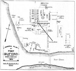 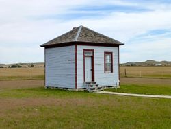 Construction began on Fort Buford on 15 Jun 1866 by soldiers under the command of Bvt. Lieutenant Colonel William G. Rankin in the Dakota Territory. Initially, the fort consisted of a 360-foot-square stockade, with log and adobe buildings. It was constructed as a single company garrison to protect immigrant travel routes. The fort was expanded in 1867 to house a total of 5 companies. The expanded fort was 999 feet by 600 feet and was enclosed on three sides by a twelve-foot stockade. Faulty construction necessitated a third construction phase and the fort was expanded to house 6 companies. The Sioux Wars of 1876-1879 resulted in Custer's defeat at the Little Bighorn and Sitting Bull's flight into Canada. Sitting Bull return to Dakota Territory in 1881 and traveled to Fort Buford where he surrendered on 20 Jul 1881 to Major David H. Brotherton, Fort Buford's commander. After Sitting Bull's surrender, Fort Buford protected survey and construction crews of the Great Northern Railway and policed the area against outlaws and wayward Indians. It was abandoned on 1 Oct 1895.
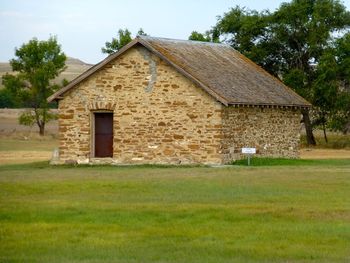
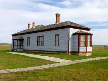
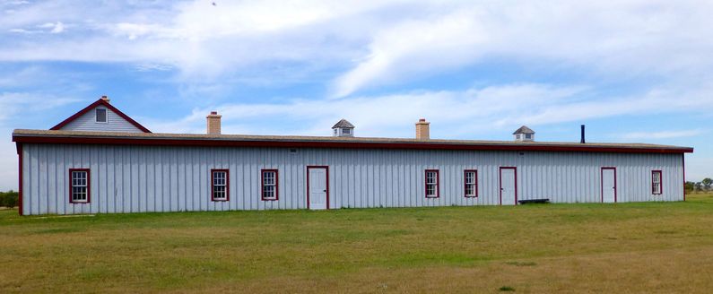
Current Status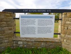 The North Dakota State Historical Society runs Fort Buford State Historic Site. Three restored original buildings still stand at the site: the stone powder magazine, wood-frame officers' quarters, and a wood-frame officer of the guard building. An enlisted barracks and mess have been reconstructed. The post guardhouse is represented by a metal outline building on the site. The foundation of one of the officer's quarters is exposed. A single field mounted cannon is displayed in front of the Field Grade Officers quarters. The post cemetery is located just south of the fort site. The nearby Missouri-Yellowstone Confluence Interpretive Center has some information on the post. Contrary to what your GPS may tell you the only way into the post on a paved road is on 39th Ln. NW, that road comes from the Interpretive Center. Plenty of room to turn an RV around.
Sources:
Links:
Visited: 22 Sep 2013
| ||||||
