Fort Atkinson (2)
| More information at Warlike, Wikidata, Wikipedia
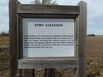
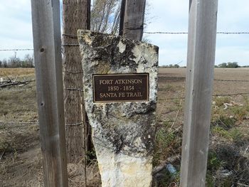
Fort Atkinson (2) (1850-1854) - First established in 1850 by Lieutenant Colonel Edwin Vose Sumner, 1st U.S. Dragoons as Camp Mackay, named after Lieutenant Colonel Aeneas Mackay. Located in Ford County, Kansas close to the point where the Santa Fe Trail crosses the Arkansas River. Renamed 25 Jun 1851 as Fort Atkinson after Colonel Henry Atkinson, 6th U.S. Infantry, who died 14 Jun 1842. Abandoned in 1854. Also known as Fort Sumner, Fort Mackay, Fort Sodom and Fort Sod (2).
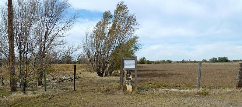
HistoryEstablished 8 Aug 1850 by Lieutenant Colonel Edwin Vose Sumner, 1st U.S. Dragoons, as a log and sod post in Ford County, Kansas. The post was rebuilt of adobe brick starting in June 1851. The post measured 150' on the north side, 355' on the east and west sides and 60' on the south side. The officer quarters were along the north wall and the enlisted barracks were along the west wall. The post was intended to guard a portion of the Santa Fe Trail and a vital crossing of the Arkansas River as well as to oversee the Indians in the area. On July 27, 1853, the United States government, represented by Major Thomas Fitzpatrick, negotiated a peace treaty here with the Kiowa, Comanche, and Apache Indians. After being temporarily abandoned in 1853, the post was re-garrisoned for a while before being permanently abandoned on 2 Oct 1854. The post buildings were destroyed to prevent their use by hostile Indians. Current StatusRoadside markers only, the actual site is on private property, nothing remains.
Sources:
Links: Visited: 12 Oct 2011
| ||||||


