Fort Assinniboine (1)
|
Fort Assinniboine (1) (1879-1911) - A U.S. Army post established in 1879 by Colonel Thomas H. Ruger (Cullum 1633), 18th U.S. Infantry and named for the Assinniboine Indian Tribe. Abandoned in 1911.
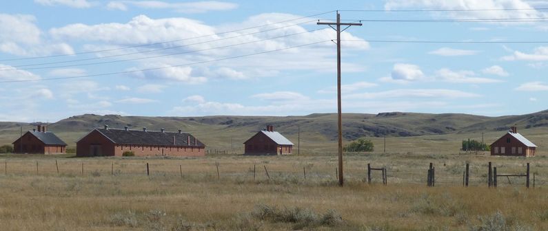
History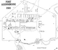 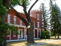 Established on 9 May 1879 by Colonel Thomas H. Ruger, 18th U.S. Infantry, to prevent the Sioux Chief Sitting Bull from returning to the U.S. from Canada and to control the local Indian population. The fort was a typical open-plan frontier front built primarily for offensive cavalry operations in the aftermath of the massacre of Custer's command at the Little Big Horn. It was the largest fort constructed in Montana. It had long rows of brick buildings and barracks with castle-like towers at the corners surrounding a very large parade ground. At its peak, the fort had 104 buildings mostly of local red brick, and a complement of 36 officers and 453 non-commissioned officers and enlisted men. Five large company barracks lined the northwest side of the parade while the southeast side was lined with officers' quarters and offices. The area behind the enlisted barracks was lined with long brick stables for the cavalry, the band, and the quartermaster. The most famous officer to serve at the Fort was First Lieutenant John J. (Black-Jack) Pershing (Cullum 3126) who arrived in 1896 with the 10th U.S. Cavalry, a black regiment. Pershing went on to teach tactics at West Point and later became General of The Armed Forces during World War I. The post was abandoned in 1911. The vast reservation was divided up into the Rocky Boy Indian Reservation, the Beaver Creek County Park, and the Montana State University, Northern Agricultural Research Center. The main post area is contained in the Research Center area, some buildings remain but all of the barracks, most of the officer's quarters, and all but one of the stables were demolished.
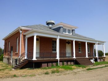
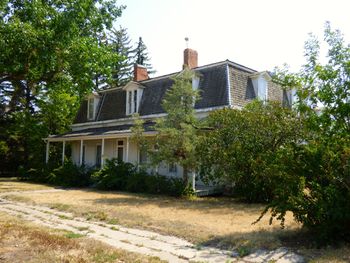
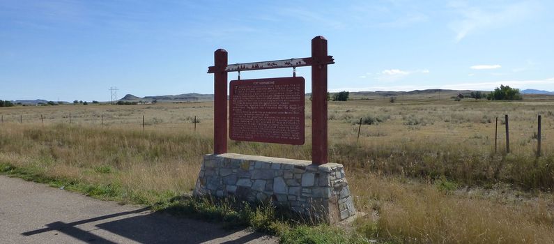
Current Status The Fort site is now the home of Montana State University, Northern Agricultural Research Center, and is open to guided tours. Tours depart from the Museum/Visitor Center as visitors arrive. Several original buildings remain including Officer's quarters, a stable, the guardhouse, the library, and other support buildings. One of the buildings on officer's row still has a castle-like tower that was a part of the architecture of the fort. An original post marker is under a transparent cover near the post flagstaff. The fort GPS point is the post flagstaff. The roadside marker is located on the south side of Hwy 87 just east of 82nd Ave W. The entrance to the old post is located on 82nd Ave W at Fort Circle Road.
Sources:
| |||||||||
