File:Custer AFS Housing Area 1956.jpg
From FortWiki
Size of this preview: 642 × 600 pixels.
Full resolution (818 × 764 pixels, file size: 212 KB, MIME type: image/jpeg)
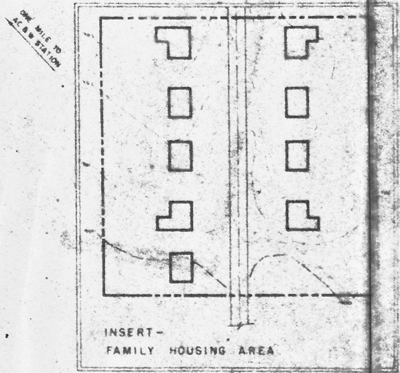
Custer AFS Radar Site Housing Area Plan circa 1956. This image is available from the United States Library of Congress, Prints and Photographs Division under the digital ID 340267pu. No known copyright restrictions.
File history
Click on a date/time to view the file as it appeared at that time.
| Date/Time | Thumbnail | Dimensions | User | Comment | |
|---|---|---|---|---|---|
| current | 20:00, 13 September 2015 | | 818 × 764 (212 KB) | John Stanton (Talk | contribs) | Custer AFS Radar Site Housing Area Plan circa 1956. {{LOC|DigitalID=340267pu}} |
- Edit this file using an external application (See the setup instructions for more information)
File usage
The following page links to this file: