Custer Air Force Station
|
Custer Air Force Station (1951-1965) - A Cold War Air Force Station first established as a radar Site in 1951 on Fort Custer near Battle Creek, Calhoun County, Michigan. Named Custer Air Force Station in 1956 after the location. In 1957 it became the site of the Custer SAGE Direction Center DC-06. The Radar site was initially assigned ID of LP-67 that changed to P-67 and later, with the implementation of the SAGE System, a Sage ID of Z-67. Abandoned in 1965. HistoryConstructed on about 30 acres of land obtained by permit from the Veterans Administration in October 1950. Construction was completed and the site became operational on 22 Feb 1951 using excess Lashup System radar equipment (TPS-1B) and a small detachment of one officer and 10 enlisted men from the 30th Air Division. The 781st AC&W Squadron was activated at the site on 16 Apr 1951. Operation as a permanent AC&W radar site began in 1952 as Fort Custer Air Force Station manned by the 781st AC&W Squadron. The station initially had both a Ground-Control Intercept (GCI) and early warning mission. The early warning mission involved tracking and identifying all aircraft entering their airspace while the GCI mission involved guiding Air Force interceptors to any identified enemy aircraft. Controllers at the station vectored fighter aircraft at the correct course and speed to intercept enemy aircraft using voice commands via ground-to-air radio. Initial permanent equipment included the FPS-3 search radar and a CPS-4 height-finder radar that was operational by April 1952. SAGE System TransitionThe transition of the manual GCI system to the automated SAGE system began with the installation of the FST-2 coordinate data transmitter and search radar upgrades. The FST-2 equipment digitized the radar returns and transmitted the digital returns to the SAGE direction center. Under the SAGE System, interceptor aircraft were directed to their targets by the direction center computers and controllers, greatly reducing the need for local controllers and equipment at every radar station. The FST-2 was a very large digital system using vacuum tube technology. Over 6900 vacuum tubes were used in each FST-2 requiring 21 air-conditioned cabinets, 40 tons of air conditioning, 43.5 kva of prime power, and usually a large new addition to the operations building. The FST-2B modification added two more cabinets but with newer solid-state (transistor) technology to process coded responses from aircraft transponders. The FPS-3 search radar was upgraded to an FPS-20 in 1958 and then to an FPS-66 in 1961. The CPS-4 height-finder radar was upgraded to an FPS-4 in 1956 and then to an FPS-6 in 1958. In preparation for SAGE operation, a second FPS-6 was added in 1959. The site began operation as a SAGE site in 1959 initially feeding the Custer SAGE Direction Center DC-06 also located at Custer Air Force Station. After becoming a SAGE site an FPS-26 height-finder was added in 1963 and one of the FPS-6s was removed. Plans were developed to add an FPS-27 Frequency Diversity (FD) radar just south of the Operations building but the project was canceled before the tower was built. Detroit Air Defense Sector (DADS)The completion of the massive four-story SAGE direction center and the subsequent connection of four radar sites on 1 Apr 1959 set the stage for the Detroit Air Defense Sector being declared operational on 1 Sep 1959. Five years later the Custer Air Force Station Radar Site would be the first of the radar sites connected to the Custer SAGE center to be deactivated. The Custer AFS radar site and the 781st Radar Squadron were deactivated 1 Mar 1965. 34th Air DivisionIn 1966 the Detroit Air Defense Sector became the 34th Air Division with some deactivations and realignments of the radar sites connected to the Custer SAGE blockhouse. Even as SAGE was being implemented the threat was changing from bombers to missiles and technology advances rendered the massive vacuum tube FSQ-7 and FST-2 systems obsolete. By 1968-1969 the handwriting was on the wall and radar sites were closing in great numbers. The Custer SAGE Direction Center DC-06 and the 34th Air Division were deactivated on 31 Dec 1969. Gap Filler Radar SitesCuster AFS radar site was responsible for the maintenance of four remote unattended gap-filler radar sites. The gap-filler sites were placed in locations where the main search radar lacked coverage. These sites sent digitized radar target data directly to a direction center. Maintenance teams were dispatched from Custer AFS for regularly scheduled maintenance or when fault indicators suggested the site had problems. The Custer AFS gap-filler radars were located at Midland, MI; Richland Center, IN; Saugatuck, MI, and Shelby, MI.
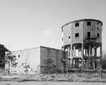
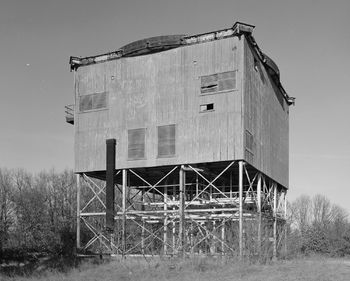
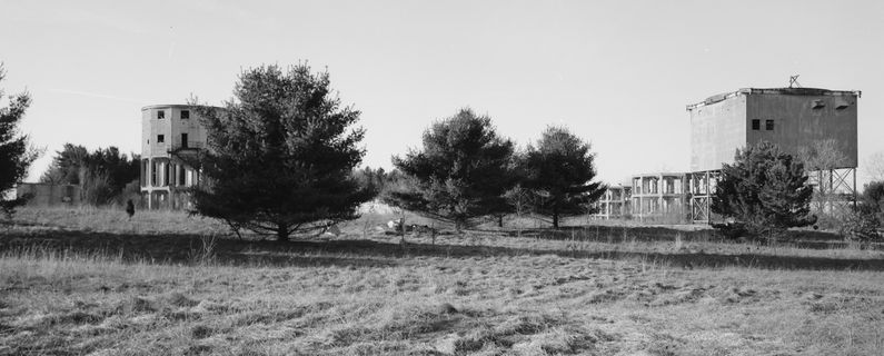
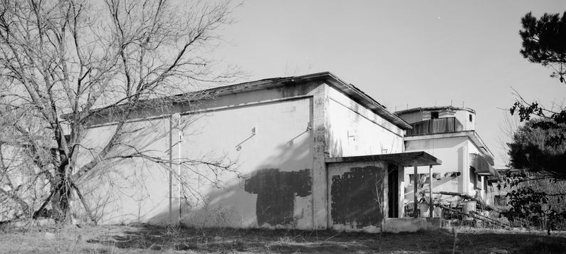
Physical PlantThe physical plant of Custer Air Force Station underwent several iterations as it transitioned from just a small radar site to a larger radar station and then was transformed into a SAGE Air Division Headquarters complete with a massive SAGE Direction Center. Initially, the detachment and the troops that followed were housed in two barracks in the 1600 block of Fort Custer just across from the Army post headquarters. The radar squadron formed and was quartered at that location for almost 18 months. On 26 Nov 1952, the squadron cantonment area moved to what would later become the site of the SAGE Headquarters complex. That site was bounded by present-day Military St., Base Ave., Evergreen Rd, and Major Avenue. 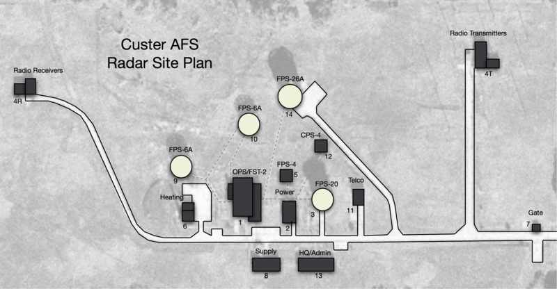 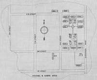 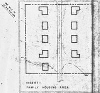 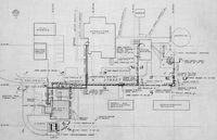 The small radar site was initially divided into the main site, a cantonment area, a housing area, and two radio sites. The main site housed the operations buildings, the radar towers, and the backup generators. The cantonment area was located south of the radar site and housed the enlisted barracks, the bachelor officer's quarters, the orderly room, the dining hall, the motor pool, and other support buildings. About a mile southwest of the main site was a small nine-unit housing area for married personnel. The physical plant of the station changed as the SAGE System was implemented starting in 1957. The radar station grew in terms of equipment and facilities and came to have four radar towers, three of which were supported by poured concrete structures. The operations building was expanded to house the large FST-2 and a Telco building was added. The small housing area was replaced with a new housing area shared by and located between, the radar site and the new headquarters. The two existing radio sites were modified to meet SAGE specifications for Ground to Air Transmitter/Receiver (GATR) radio site operations. The small original radar site cantonment area was expanded into a seven-block complex with shared facilities for the new SAGE headquarters, the SAGE blockhouse, and the radar site. A small new administration building was built on the radar site itself. 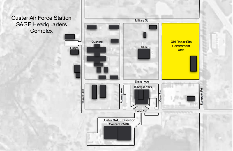 The development of the new Detroit Air Defense Sector headquarters and the SAGE direction center occupied more than seven blocks of new construction dominated by the massive four-story SAGE direction center and the attached powerhouse. The headquarters building was a large permanent building directly across from the SAGE blockhouse. Northwest of the headquarters building was a block of buildings that included a large "H" shaped three-story building housing bachelor airmen and officers. At the center of this complex was a large all ranks club.
Current StatusThe radar site has been overbuilt and nothing remains. The SAGE cantonment area structures mostly remain, mostly repurposed for civilian use but many are unoccupied and deteriorating. The headquarters building and two adjacent blocks have been repurposed for use by the U.S. Marine Corps Reserve. The old Radar Site cantonment buildings are all gone. The four-story blockhouse is in civilian hands and said to be used by an archival storage company.
See Also: Sources:
Links: Visited: No
| ||||||||||||||||||||||||||||||||||||||||||||||||||||||||||||||||||||||||||||||||||||||||||||||||||||||||||||||||||||||||||||||||||||||||||||||||||||||||||||||||||||||||||||||||||||||||||||||||||||||||||||||||||||||||||||||||||||||||||||||||||||||||||||||||||||||||||||||||||||||||||||||||||||||||||||||||||||||||||
