Farr's Fort
|
Farr's Fort (1850-1853) - A Mormon settler Fort established in 1850 in present day Ogden, Weber County, Utah. Abandoned as a fortification in 1853.
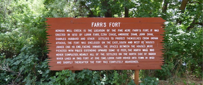
History of Farr's Fort Established early in 1850 by Lorin Farr who had the first sawmill and the first grist mill in Weber County, Utah. The Fort was built around a square by placing inward facing cabins around a five acre site along Mill Creek. The backs of the cabins formed the outer wall but the north wall was not completed. Any spaces between cabins were filled in with sharpened 12' high log pickets. The northwest corner of the fort was located at the corner of present day Monroe Blvd. and Canyon Road. The site is now a subdivision known as Farr Orchard. Lorin Farr moved into Ogden in 1853 and it is believed that the fort was abandoned soon after.
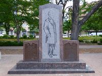
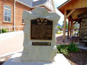
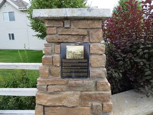
Current StatusTwo markers, one along Canyon Road and another along Monroe Blvd, both near the intersection of Canyon Road and Monroe Blvd.
See Also: Sources:
Links: Visited: 6 Jul 2015
| ||||||


