Camp Lewis (4)
|
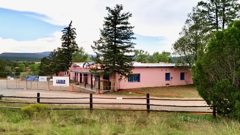
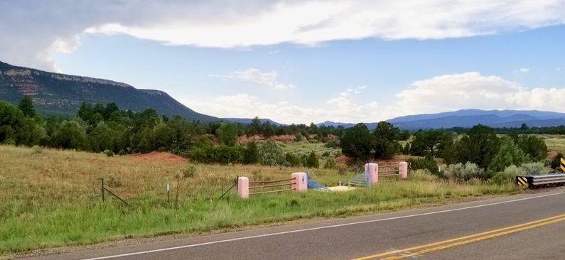
HistoryCamp Lewis was a temporary Union post established in March 1862, by members of the First Colorado Volunteers and one company of New Mexico Volunteers operating under the command of Major John M. Chivington. The post was occupied just prior to the Battle of Glorietta Pass (26-28 Mar 1862), Confederate troops had occupied Johnson's Ranch and Stage Station at Cañoncito and during the Battle of Glorieta Pass used it as their headquarters and supply depot. Major Chivington discovered the depot location and with his command of 400 men, left Camp Lewis on 26 Mar 1862 and attacked and burned the Confederates' train of 80 supply wagons. The loss of all their supplies forced the rebels to retreat down the Rio Grande and back into Texas. Camp Lewis was occupied by Union forces for only three days but the adjacent Kozlowski's Stage Station was used as a field hospital for eight to ten weeks afterward. The Santa Fe Trail passed through the camp site to the front of this stage stop and the wagon ruts can be seen to this day. Current Status In 1925 Tex Austin bought 5,500 acres of land that included the Kozlowski's stage station and the Camp Lewis site as a part of his Forked Lightning Ranch. In 1941 Buddy Fogelson purchased the ranch and expanded it to 13,000 acres. In 1949 he married actress Greer Garson and they actively supported preservation of the area. In 1991 Greer Garson sold her ranch parcel to the Conservation Fund who donated it to the National Park Service who now owns the property. Reconstruction of the stage station building is currently underway and the camp area has been the subject of archeological investigations. {{Clr))
See Also: Sources:
Links: Visited: 27 Aug 2019
| |||||||
