Camp Disappointment
|
Camp Disappointment (1806-1806) - A Lewis and Clark Expedition Corps of Discovery post established in 1806 during the return trip by Meriwether Lewis in present-day Glacier County, Montana. Abandoned in 1806.
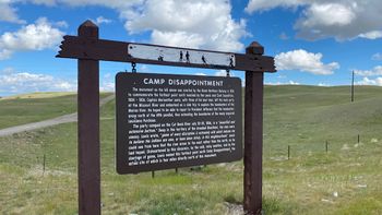
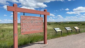
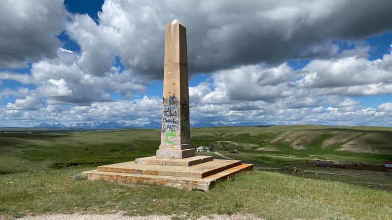
HistoryEstablished 22 Jul 1806 by Meriwether Lewis on the return trip of the Lewis & Clark Corps of Discovery. This post was the northernmost camp of the expedition, built by Meriwether Lewis while he was exploring the headwaters of the Marias River. Lewis found the headwaters of the Marias and headed up the north branch of the Cut Bank River (Creek) but stopped when he determined that it did not reach the 50th parallel. He named his camp, Camp Disappointment. The camp was abandoned on 26 Jul 1806. Current StatusRoadside Markers and a monument at two different locations. The first roadside marker is along U.S. 2 west of the intersection with MT 444 in Glacier County, Montana. A short road by this marker leads to a monument. The second marker site is located on MT 444 about 8 miles north of the intersection with U.S. 2, that site has a large marker and three reader boards. The markers seem to indicate that the actual site of the camp was along the Cut Bank Creek about 8 miles due North of the first marker.
See Also: Sources:
Links: Fortification ID:
Visited: 30 Jun 2022
| |||||||


