Camp Clipper
|
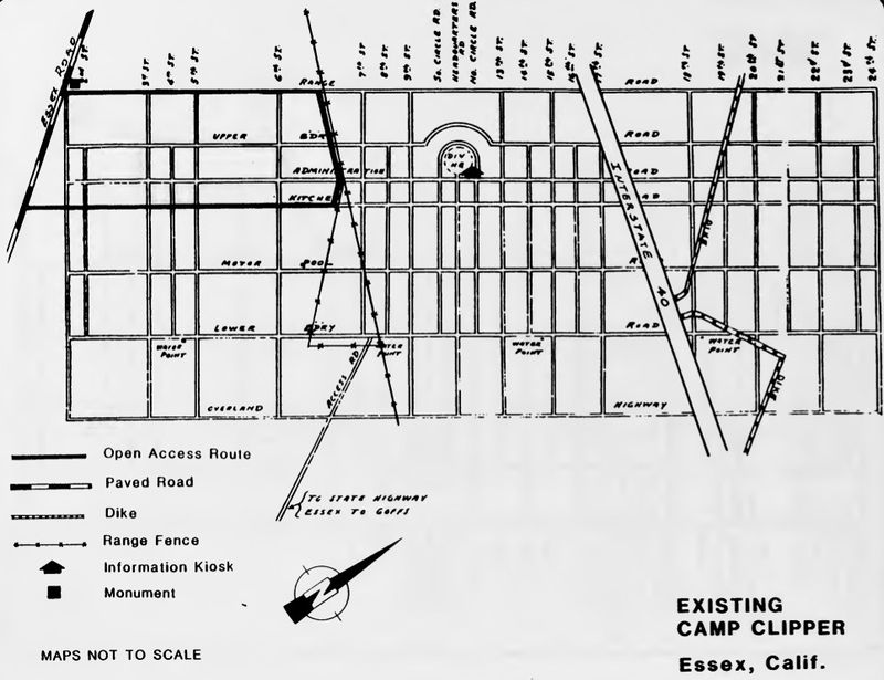
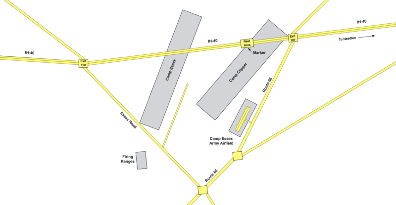
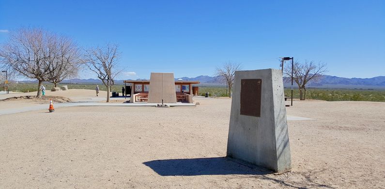
Camp Clipper (1942-1944) - A World War II desert training camp established in 1942 near Needles in San Bernardino County, California. Named for the Clipper Mountain range Southwest of the Camp. Located adjacent to Camp Essex and the Camp Essex Army Airfield. Abandoned in 1944.
HistoryCamp Essex and Camp Clipper were established in 1942 as two of fifteen temporary World War II training camps in the southern California and Arizona desert areas. These training camps were a part of what was initially known as the Desert Training Center and then as the California-Arizona Maneuver Area after 20 Oct 1943. Camp ClipperCamp Clipper was located adjacent to Camp Essex and the Camp Essex Army Airfield. The three installations functioned as a training complex. In operation, Camp Essex functioned as a more permanent divisional training camp while Camp Clipper was used as a temporary staging camp before Camp Essex was completed. The Camp Essex Army Airfield was located next to Camp Clipper. At least 14 firing ranges were provided on the site to support both camps. The ranges accommodated a variety of pistols, rifles, machine guns and tank guns.

Camp EssexCamp Essex was established after Camp Clipper was built and Camp Clipper became a temporary camp after Camp Essex was completed. The reason for the seeming abandonment of Camp Clipper in favor of the nearby Camp Essex site may be partially due to bad initial site selection. The site of Camp Clipper was right in the path of a desert wash which may have made it prone to flash flooding.
Camp Essex Army AirfieldThe U.S. Army built an airfield at Camp Essex to support the training operations. The airfield had a single 4,500' north/south runway located on the west side and adjacent to what is now U.S. Hwy 95 (old Route 66} about 13 miles northwest of Needles, California. ClosureAs the war entered a new phase in 1944, the camps were closed and training discontinued on 30 Apr 1944. Camp Clipper was declared surplus on 16 Mar 1944. Post WarRestricted use of the land continued after the war while the U.S. Army Corps of Engineers (USACE) supervised cleanup of the hazardous material and the removal of temporary facilities. Current StatusSurface remains only: the outline of the Camp Essex road structure and the airstrip can be seen from satellite views but the structure of Camp Clipper is difficult to see. 
See Also: Sources:
Links:
Visited: No
| ||||||||
