Battery AMTB 962
|
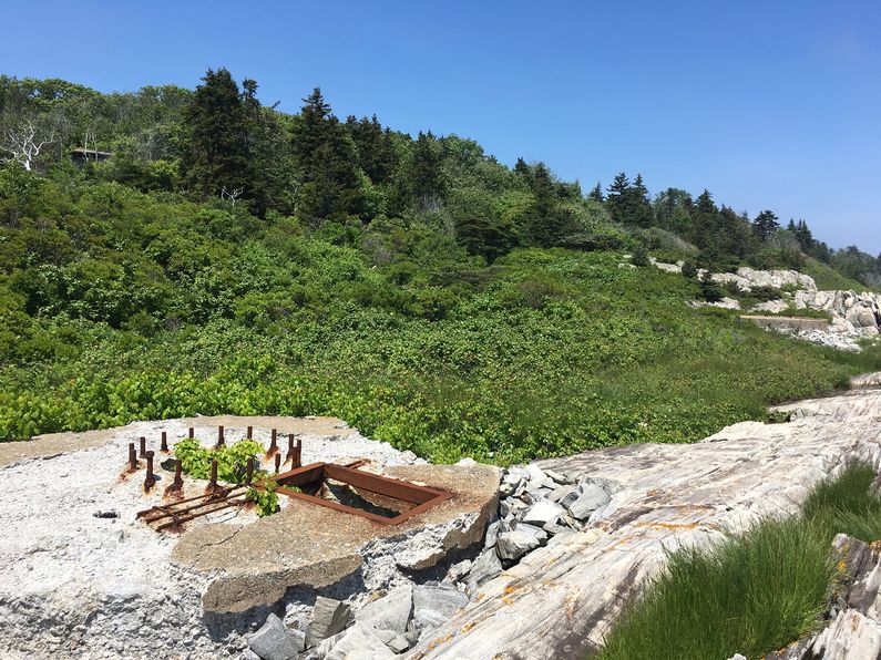
Battery AMTB 962 (1943-1946) - Battery AMTB 962 was a reinforced concrete World War II AMTB rapid fire 90mm gun battery on Fort Levett, Cushing's Island, Cumberland County, Maine. Battery construction started in 1943, was completed in 1943 and transferred to the Coast Artillery for use in 1943. Deactivated in 1946.
 |
World War II
Part of the Harbor Defense of Portland, Maine.
The AMTB battery on Cushing's Island consisted of two 90mm guns mounted on 90mm M3 fixed gun mounts and two 90mm guns mounted on 90mm M1A1 mobile gun mounts. Concrete pads were provided for both fixed guns and often wooden gun platforms were provided for the mobile guns. Two earth covered concrete magazines provided protection for the ammunition. Electric power was provided by M-7 portable generators.
The battery had a dual mission of defense against fast enemy motor torpedo boats and enemy aircraft. The effective range of the guns was about 8,000 yards or 4.5 miles. Each weapon required a crew of 15, 9 men in the gun squad and 6 men in the ammunition squad.
 |
 |
 |
 |
|
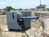
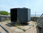
The above photos were taken at Fort Monroe, Battery Parrott From FM 4-91: "This weapon consists of the 90-mm gun M1 and top carriage M1A1 on the 90-mm gun mount M3. The mount M3 is of the turret type, the shielding being constructed of boiler plates. This boiler plate shield provide fragmentation protection only. No shielding is provided at the rear due to the requirements for service of the piece. A sighting port in the shielding in front permits sighting in direction by the gun pointer." References:
| |||
Current Status
No period gun or mounts in place.
|
{"selectable":false,"height":"-500","width":"-500"} |
Location: Fort Levett, Cumberland County, Maine Maps & Images Lat: 43.638066 Long: -70.199269 |
Sources:
- U.S.Army, Supplement to the Harbor Defense Project of Portland, Maine, (HDPB-AN-45), 11 Apr 1945, CDSG
Links:
Visited: No
|}