Baker Air Force Station
|
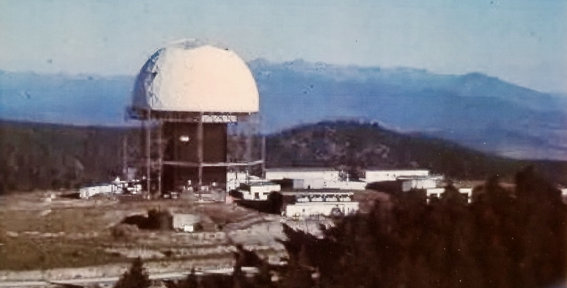
Baker Air Force Station (1959-1968) - A Cold War Air Force Radar Station first established in 1959 near Baker City in Baker County, Oregon. Named Baker Air Force Station after the location. Initially assigned a Permanent ID of SM-149, later a Sage ID of Z-149. Abandoned in 1968. History Established in 1959 and became fully operational in 1962 as Baker Air Force Station manned by the 821st AC&W Squadron. Initial equipment included the FPS-35 search radar and an FPS-6 height-finder radar. The site was equipped with a concrete tower to house an FPS-3 search radar but it was reportedly never installed. The FPS-35 search radar was not accepted until June 1962 with an expected operational date in October 1962. The FPS-35 had a 150' wide antenna "sail" that was not normally covered with a radome but it was decided to cover the Baker AFS FPS-35 with a massive radome. The Air Force let a $1,330,000 construction contract to the Sperry Corporation for construction of the Radome in June 1962. Baker AFS was to be the only site with an FPS-35 to have a radome covering it.
SAGE TransitionBaker AFS initially had an AC&W mission even though it was built during the SAGE System implementation years. The transition to SAGE System operation required the same construction as older AC&W sites including a SAGE Annex to the operations building and a GATR radio site. The transition of the manual GCI system to the automated SAGE system began with the installation of the FST-2 coordinate data transmitter and search radar upgrades. The FST-2 equipment digitized the radar returns and transmitted the digital returns to the SAGE direction center. Under the SAGE System, interceptor aircraft were directed to their targets by the direction center computers and controllers, greatly reducing the need for local controllers and equipment at every radar station. The FST-2 was a very large digital system using vacuum tube technology. Over 6900 vacuum tubes were used in each FST-2 requiring 21 air-conditioned cabinets, 40 tons of air conditioning, 43.5 kva of prime power, and usually a large new addition to the operations building. The FST-2B modification added two more cabinets but with newer solid-state (transistor) technology to process coded responses from aircraft transponders. As a part of the SAGE System transition, a Ground-Air Transmitter-Receiver (GATR) site was constructed on nearby Bald Ridge. The contract for the GATR site was awarded in August 1959 to the McCormack Construction Company of Pendleton, Oregon. The contract provided for a 26 by 113-foot masonry block GATR building and a mile long access road. The work was to be completed within 180 days of the award. SAGE System Operation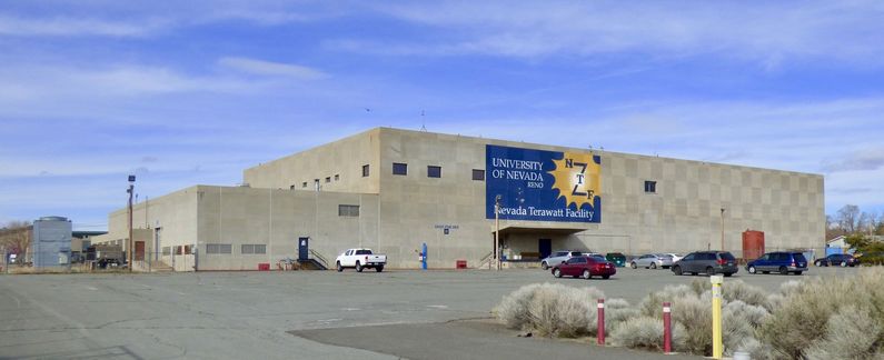
The site began operation as a SAGE site in 1960 initially feeding the Stead SAGE Direction Center DC-16. It's unclear what data the site provided since the main search radar FPS-35 was not completed until 1962. A second FPS-6A height-finder radar was installed in 1964 and the original FPS-6 was removed in 1966. In 1966 the Stead SAGE Direction Center DC-16 closed and Baker AFS was switched to Adair SAGE Direction Center DC-13.
ClosureThe public announcement of the closure of Baker Air Force Station came on 19 Nov 1964 stating that it would be closed by July 1967. The closure was part of a massive reduction in military facilities announced by then-Secretary of Defense Robert S. McNamara. In January 1967 a delay in the closure of Baker AFS was announced that would keep it open until the end of FY 1969. Baker AFS and the 821st Radar Squadron (SAGE) were officially deactivated on 18 Jun 1968. Physical Plant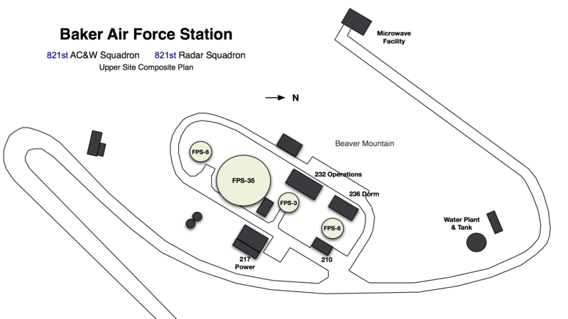
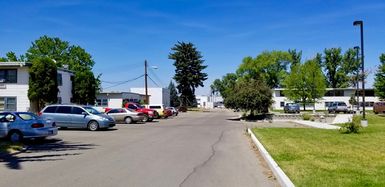
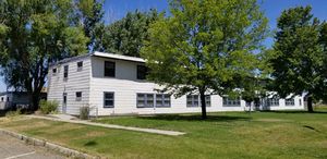 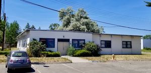 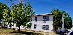 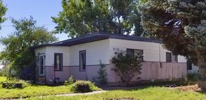 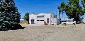 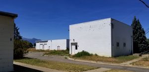 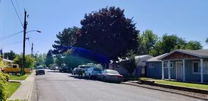 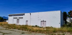 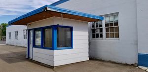 The physical plant of the site was divided into an upper main site on Beaver Mountain, the GATR radio site on Bald Ridge and a cantonment area, and a separate housing area in Baker City. The upper main site housed the operations buildings, the radar towers, a crew barracks, a full dining hall, and the backup generators. The separate Ground to Air Transmitter/Receiver (GATR) radio site housed the radio equipment for directing aircraft intercepts. Crews were shuttled from the cantonment area in town up the mountain by bus. The cantonment area was initially planned to be adjacent to the upper operations area but when engineers discovered it would cost $100,000 to run a water pipeline up the mountain that plan changed. The main cantonment area was built in downtown Baker City although there were some facilities on the original upper cantonment area. The cantonment area in town housed the enlisted barracks, the bachelor officer's quarters, the orderly room, the dining hall, the motor pool, and other support buildings. A $99,736 contract was awarded in April 1958 to the McCormack Construction Company to build the multipurpose recreation building in the cantonment area. Apart from the cantonment area were enlisted and officer housing areas for married personnel, 27 units total.
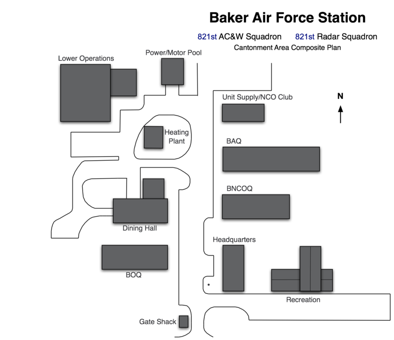
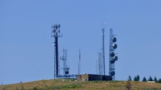
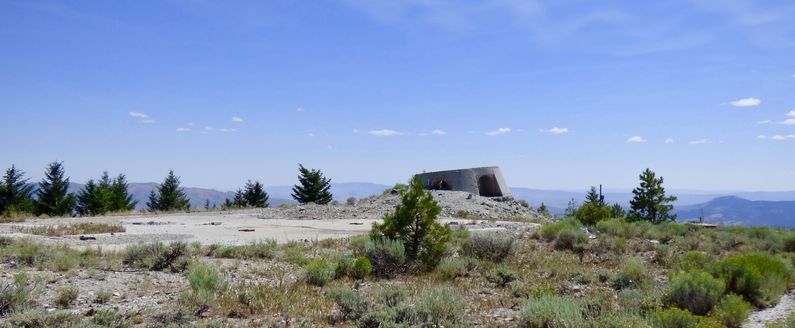
Current Status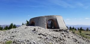  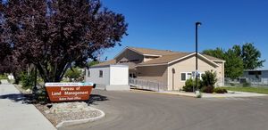 The upper main site is mostly abandoned with only exposed foundations of the original buildings and some newer commercial radio facilities around the edges. Two large artifacts remain, the concrete FPS-3 tower structure and the concrete FPS-35 antenna support structure The upper GATR building appears to be intact and is now used for commercial radio facilities. The $1.3 million dollar radome was repurposed as the Payette High School Gym in Payette, Idaho. The lower cantonment area and the housing area in Baker City are in civilian hands and repurposed as private housing with some portions of the cantonment area appearing to be unused. The tribal training center that once used the cantonment area is gone. A recently constructed Bureau of Land Management (BLM) complex in the southeast corner of the former cantonment area removed the headquarters building, the bachelor NCO quarters, and the large recreation building. The new BLM building is on the site of the old recreation building and retains some of the footprints of the old building including some of the foundation and the flooring of the gym. The new building is reportedly off-gassing and now presents a hazard to workers and visitors. The old headquarters building is completely gone except for the parking spaces that were in front of the building. The bachelor NCO quarters are gone and replaced with a large parking lot. All three sites are accessible by automobile. The road up to the Beaver Mountain site is unpaved for the last five miles or so and is a bit challenging with steep drop-offs and no guard rails. The road is good but I did the last stretch in 2nd gear and it probably should not be traveled in bad weather by regular automobiles. We did not travel to the GATR site. The cantonment area and the housing area are on normal city streets in Baker City.
See Also:
Sources:
Fortification ID:
Visited: 21 Jul 2017
|
