Rainbow Ridge FAA Radar Site
Rainbow Ridge FAA Radar Site (1997-Active) - A Federal Aviation Administration (FAA) Long Range Radar (LLR) site first established in 1997 near Ferndale, Humboldt County, California. The site is used to identify and track military and civilian aircraft movements within a 200-mile radius and to provide air-ground radio communication with those aircraft. Assigned a JSS ID of J-83A and an FAA ID of ZQZZ. Active FAA Radar Site.
-
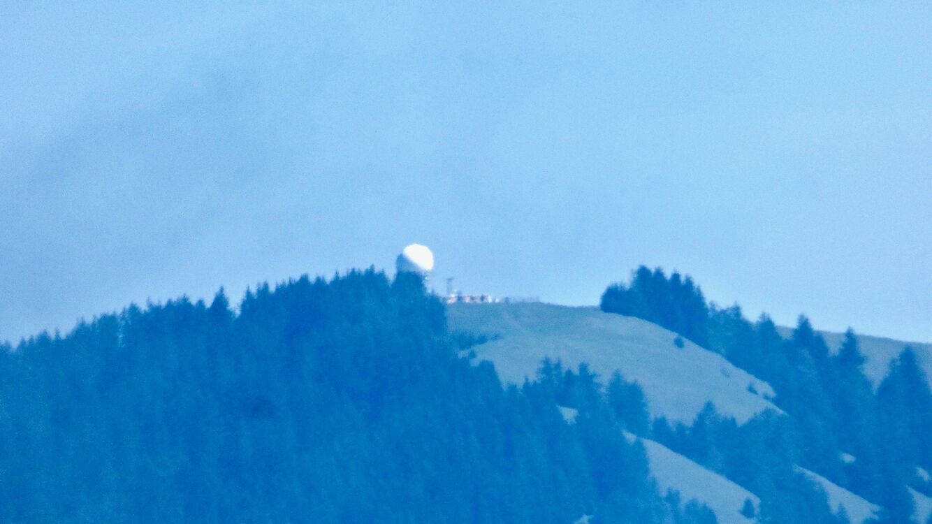 Rainbow Ridge FAA Radar Site from a Distance.

History
This site became an activated FAA radar site on 30 Jun 1997, furnishing radar track data to the FAA ARTCC's and to USAF Direction Centers. The initial FAA search radar was and still is an ARSR-4.
This site replaced much the coverage of both the Crescent City FAA Radar Site (J-83) located on the site of the former Klamath Air Force Station and the former Point Arena Air Force Station, a joint-use facility operated by civil service personnel. These two sites deactivated their radar mission coincident with the activation of the Rainbow Ridge FAA Radar Site.
The radar site data is available to the USAF/NORAD Battle Control System-Fixed (BCS-F) operations centers (EADS & WADS) as well as the FAA Oakland ARTCC and adjacent ARTCCs.
Context
Location:
Near Ferndale in Humboldt County, California.
Lat: 40.394° Long: -124.166° Elevation: 3'
Bing, Google,
OldMapsOnline,
USGS, OHM
Current Status
Active FAA facility near Ferndale in Humboldt County, California.
}} -->
See Also:
Sources:
- Point Arena radar station winding down, Independent Coast Observer (Gualala, California), 6 Jun 1997, Page 1,11.
- FAA - Site Listing of Legacy Radars as of 23 Dec 2016.
Links:
- Bad Links Rainbow+Ridge%2C+CA Rainbow Ridge FAA Radar Site]
- Wikipedia - Joint Surveillance System
Related:
ARSR-4, Bad Links, CD-2, JSS System, Klamath Air Force Station, Oakland ARTCC, Point Arena Air Force Station, US Radar Sets, Vandenberg AFB Radar Site, FAA Air Route Traffic Control Centers,
| Search Radar | HF Radar | Data Systems |
|---|