Long Camp
Long Camp (1806-1806) - A Lewis & Clark expedition camp established in 1806 on the return trip from the Pacific coast. Located in present day East Kamiah, Lewis County, Idaho. Abandoned in 1806. Also known as Camp Chopunnish, Camp Kamiah and Camp Long.
-
 Long Camp Marker.
 -
 Bitteroot Mountains Map.
 -
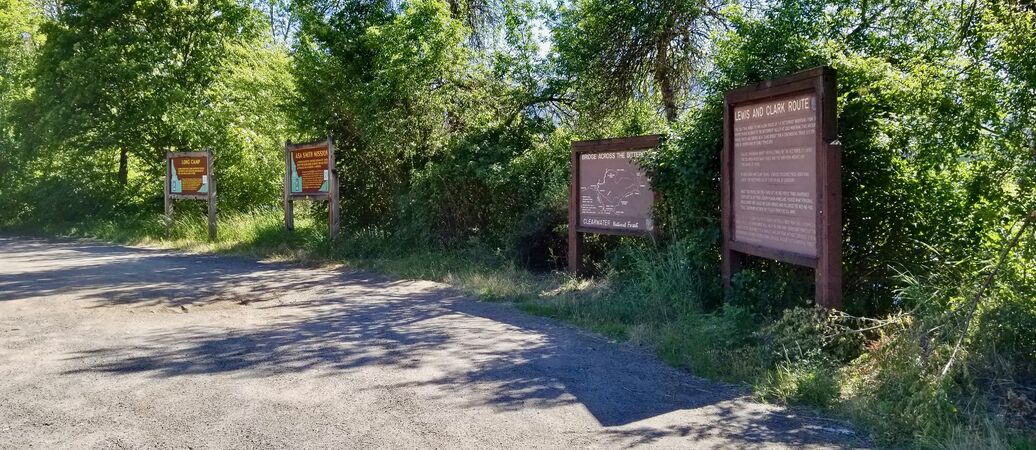 Long Camp Marker Site.


History
On the return journey from the Pacific coast, Lewis & Clark were forced to spend four weeks with the Nez Perce Indians waiting for the snow to melt in the Bitterroot mountains (14 May 1806-10 Jun 1806). Their camp along the Clearwater River was called Long Camp or Camp Chopunnish. Long Camp was abandoned on 10 Jun 1806 when Lewis & Clark moved on to the Weippe Prairie Camp. This new camp was only 10 miles from Long Camp but required a difficult climb up some 2000 feet to the Weippe Prairie at the 3000 foot level.
Current Status
Marker only near Kamiah, Lewis County, Idaho. This marker and three others are located at a wide turnoff on Idaho Hwy 12 just southeast of the Kamiah 3rd Street Bridge.
Context
Location:
Near Kamiah, Lewis County, Idaho. The map point is the marker location.
Lat: 46.222° Long: -116.01° Elevation: 1168'
Bing, Google,
OldMapsOnline,
USGS, OHM
See Also:
Sources:
- The Journals of the Lewis and Clark Expedition. 2005. U of Nebraska Press / U of Nebraska-Lincoln Libraries-Electronic Text Center.
- USGS Geographic Names Information System (GNIS) Database Entry: 394019
Links:
- North American Forts - Camp Long
- NPS - Long Camp
- NPS - Lewis & Clark Journal Entries for Long Camp
- Visit Idaho - Long Camp
Related:
Camp Chopunnish, Camp Kamiah, Camp Long, Lewis and Clark Expedition, Weippe Prairie Camp,