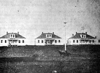
Fort Seward (1)
|
Fort Seward (1872-1877) - A U.S. Army post established in 1872 by Captain John C. Bates of the 20th U.S. Infantry to provide protection for the construction of the Northern Pacific Railway. The fort was initially named Camp Sykes after Colonel George Sykes, 20th U.S. Infantry and later designated Fort Cross (1) on 7 Sep 1872 after Colonel Edward E. Cross, 5th New Hampshire Volunteer Infantry, who was killed at Gettysburg, 2 Jul 1863. Finally, on 9 Nov 1872, the name was changed to Fort Seward after William H. Seward, Secretary of State under President Lincoln. Abandoned in 1877.
History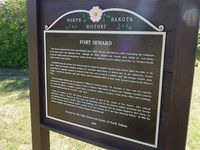 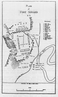 Established as a U.S. Army post 27 May 1872 by Captain John C. Bates of the 20th U.S. Infantry to provide protection for the construction of the Northern Pacific Railway. The post was situated on a bluff overlooking the confluence of the Jamestown River and Pipestone Creek. Fort Seward was a three Company post with about 120 men from the 20th U.S. Infantry stationed there. It guarded the Northern Pacific Railroad bridge crossing the James River and the railroad construction workers. Captain John H. Patterson commanded Fort Seward from October 1873 to September 1877. It was under his command that the fort was dismantled and sent north 81 miles to Fort Totten (1). The flag was hauled down at the fort the last time at noon on 30 Sep 1877 and the troops began the march to Fort Sisseton, Dakota Territory the next day. The military reservation was transferred to the Interior Department on 14 Jul 1880 and the site fell into private hands. In 1925 the Northern Pacific Railroad deeded a portion of the site to the Historical Society of North Dakota and in 1969 another parcel was donated by the Lutheran Hospitals and Homes Society of America.
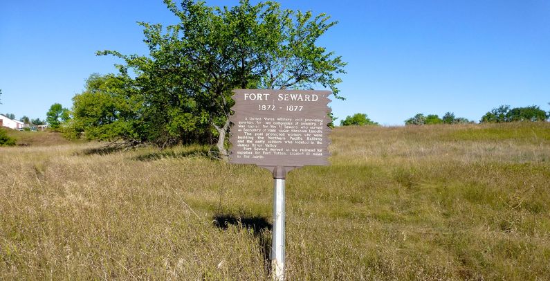
Current Status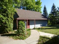 No buildings remain on the site but the locations of some of the buildings are marked with stone cairns and markers. Three markers and some signage identify the site. An interpretive center is located adjacent to the entrance to the site.
Sources:
Links: Visited: 12 Sep 2013 | ||||||

