File:Houston FAA Radar Site Plan .png
Jump to navigation
Jump to search
Size of this preview: 566 × 599 pixels. Other resolution: 1,320 × 1,398 pixels.
Original file (1,320 × 1,398 pixels, file size: 2.52 MB, MIME type: image/png)
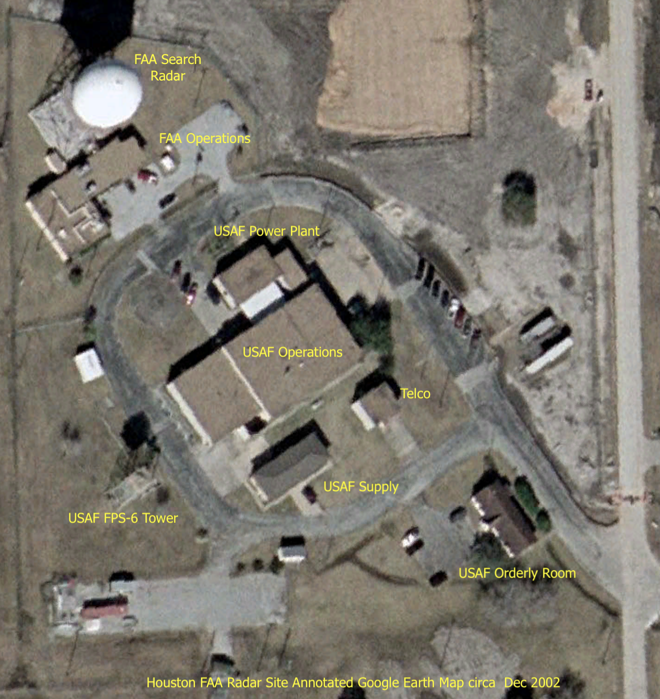
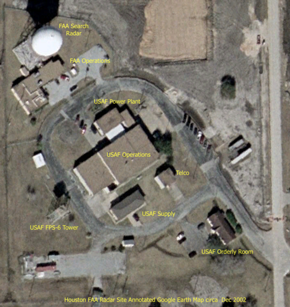
Houston FAA Radar Site Plan Showing the USAF Buildings still in place, Annotated Google Earth Map 2004
File history
Click on a date/time to view the file as it appeared at that time.
| Date/Time | Thumbnail | Dimensions | User | Comment | |
|---|---|---|---|---|---|
| current | 07:08, 11 November 2020 | | 1,320 × 1,398 (2.52 MB) | John Stanton (talk | contribs) | Houston FAA Radar Site Plan Showing the USAF Buildings still in place, Annotated Google Earth Map 2004 |
You cannot overwrite this file.
File usage
The following page uses this file: