File:Hell-Gate Map.jpg
From FortWiki
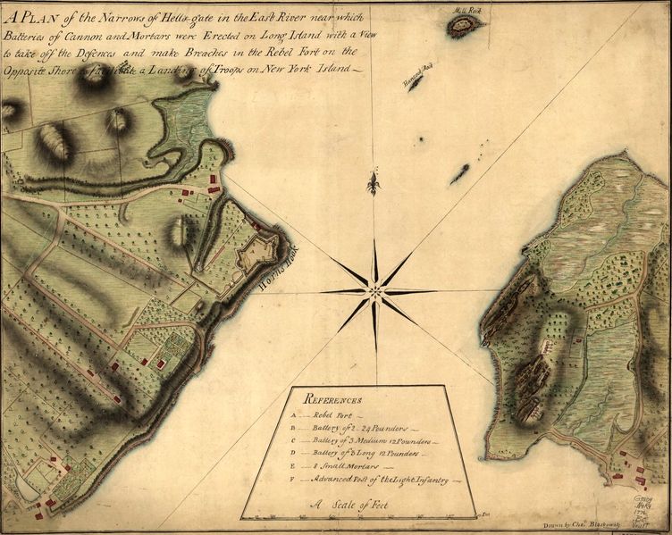
Size of this preview: 752 × 599 pixels.
Full resolution (1,443 × 1,150 pixels, file size: 551 KB, MIME type: image/jpeg)
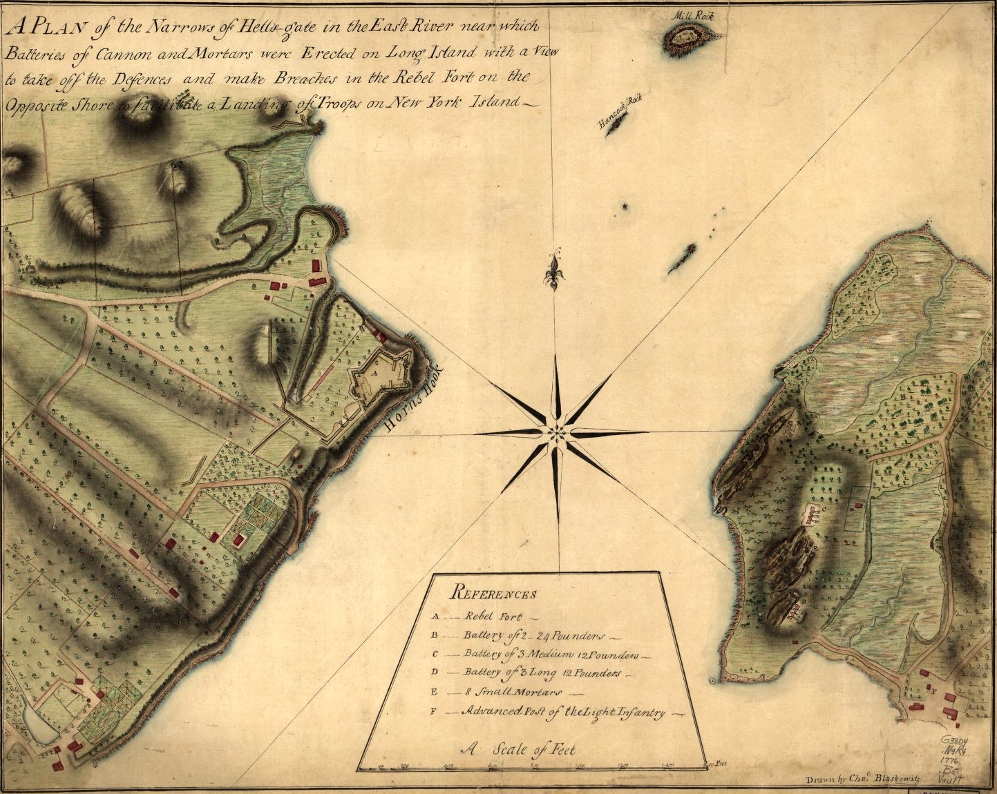
Hell-Gate Map & Plan of Horns Hook Fort, public domain This image is available from the United States Library of Congress, Prints and Photographs Division under the digital ID http://hdl.loc.gov/loc.gmd/g3804n.ar115400. No known copyright restrictions.
File history
Click on a date/time to view the file as it appeared at that time.
| Date/Time | Thumbnail | Dimensions | User | Comment | |
|---|---|---|---|---|---|
| current | 05:07, 28 January 2016 | | 1,443 × 1,150 (551 KB) | John Stanton (Talk | contribs) | Hell-Gate Map & Plan of Horns Hook Fort, public domain {{LOC|DigitalID=http://hdl.loc.gov/loc.gmd/g3804n.ar115400}} |
- Edit this file using an external application (See the setup instructions for more information)
File usage
The following page links to this file: