File:Packwood Ferry Locale 1853.png

Size of this preview: 800 × 572 pixels. Other resolution: 1,385 × 991 pixels.
Original file (1,385 × 991 pixels, file size: 2.73 MB, MIME type: image/png)
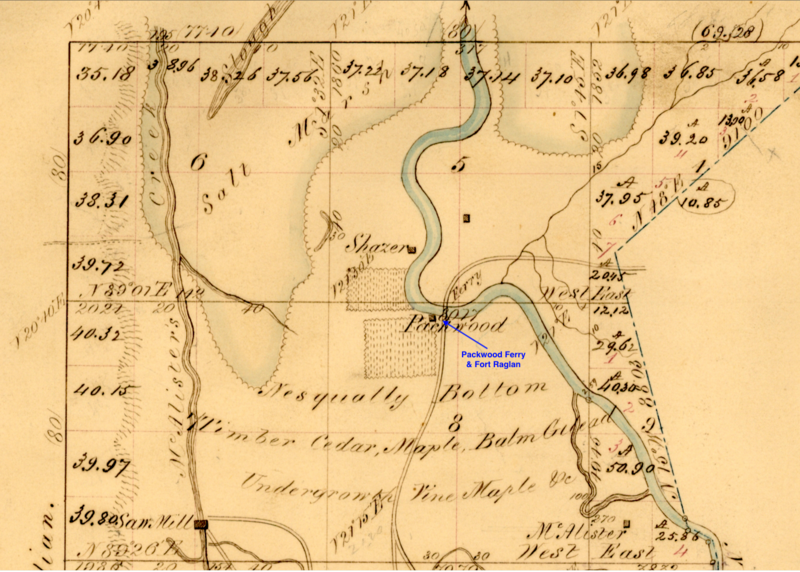
Packwood Ferry Locale from 1853 Department of the Interior Survey Map of the Nisqually River Fort Raglan Area, public domain
File history
Click on a date/time to view the file as it appeared at that time.
| Date/Time | Thumbnail | Dimensions | User | Comment | |
|---|---|---|---|---|---|
| current | 07:15, 23 May 2019 | | 1,385 × 991 (2.73 MB) | John Stanton (talk | contribs) | Packwood Ferry Locale from 1853 Department of the Interior Survey Map of the Nisqually River Fort Raglan Area, public domain |
You cannot overwrite this file.
File usage
The following page uses this file: