File:Remains of No. 6 Radar Detachment, Louisbourg, Nova Scotia 2.jpg
Jump to navigation
Jump to search
Size of this preview: 749 × 600 pixels. Other resolutions: 2,558 × 2,048 pixels | 3,397 × 2,720 pixels.
Original file (3,397 × 2,720 pixels, file size: 1.92 MB, MIME type: image/jpeg)
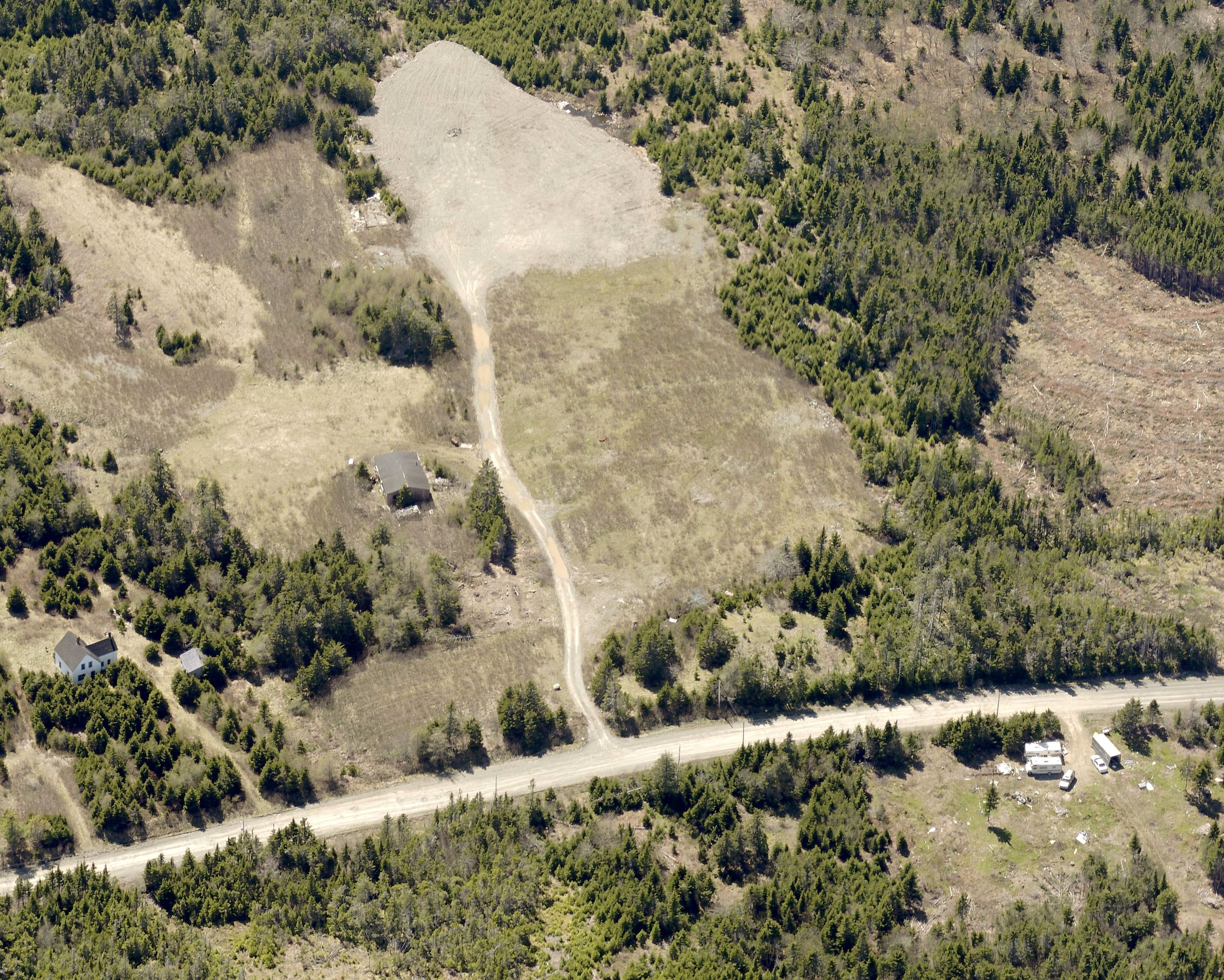
Aerial view to the west of 6 RD Louisbourg Site, the Louisbourg radar complex as it appears today.
6 RU - Louisbourg Radar Site (1942-1945) - A World War II Royal Canadian Air Force (RCAF) Radar Station established in 1942. Located inland, 2 miles northwest of Louisbourg, on Cape Breton Island, Nova Scotia.
File history
Click on a date/time to view the file as it appeared at that time.
| Date/Time | Thumbnail | Dimensions | User | Comment | |
|---|---|---|---|---|---|
| current | 16:22, 18 December 2017 | | 3,397 × 2,720 (1.92 MB) | Ken Heaton (talk | contribs) | Aerial view to the west of 6 RD Louisbourg Site, the Louisbourg radar complex as it appears today. 6 RU - Louisbourg Radar Site (1942-1945) - A World War II Royal Canadian Air Force (RCAF) Radar Station established in 1942. Located inland, 2 miles nor... |
You cannot overwrite this file.
File usage
The following page uses this file: