Point Atkinson Battery
|
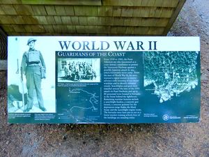
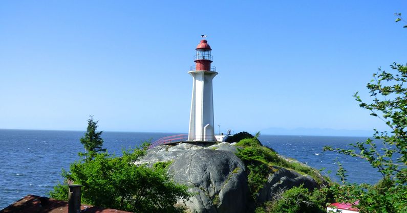
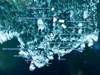
Point Atkinson Battery (1942-1945) - A World War II Battery established on Point Atkinson in 1942 in West Vancouver, British Columbia. Abandoned in 1945. History of Point Atkinson BatteryPart of the Harbor Defense of Vancouver in British Columbia. The Canadian Navy established a signal station at Point Atkinson in 1939 during World War II to identify ships entering the Vancouver Harbor. Soon after the Japanese attacked Pearl Harbor in 1941 the Canadian 15th Artillery established a gun battery at the point to challenge and stop any unidentified vessels. Initially a field mounted 18-pounder MK1 gun was used but it was later fixed mounted next to the Point Atkinson lighthouse. It served as the examination battery for the entrance to Vancouver Harbor. A searchlight shelter was also built on the shore just northeast of the battery. A number of supporting buildings were built just back of the point including a barracks, an enlisted mess, an officers mess and a power house for the searchlight. Some 80 personnel were posted to the facilities at Point Atkinson Point. The battery was deactivated in 1945.
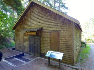
Current StatusFour of the original buildings (repurposed) remain including the enlisted mess, a searchlight shelter, the searchlight power house and a barracks. The remaining concrete gun mount and depression range finder pedestal are next to the lighthouse but are not accessible to the public. Two of the buildings are also in the no access area. Public auto access ends at a parking lot on Beacon Lane where a trail begins that leads down to a point just above the lighthouse. This is the point where public access ends. There is also an overlook viewpoint on a large rock formation on a side trail.
See Also:
Links:
Visited: 2 Jun 2014 Point Atkinson Battery Picture Gallery
| |||||||


