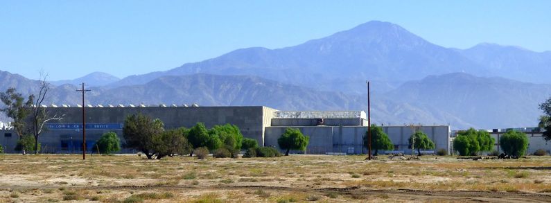
Lompoc Air Force Station
|
Lompoc Air Force Station (1963-1968) - A Cold War Air Force Radar Station first established in 1963 near Lompoc, Santa Barbara County, California. Named Lompoc Air Force Station after the location. USAF Facility No. 7867. Initially assigned a Permanent ID of RP-15 and a Sage ID of Z-15. Merged into Vandenberg AFB on 1 Mar 1966. Abandoned as a radar site in 1968. Now a telemetry site for the Western Test Range of Vandenberg Air Force Base. HistoryConstruction began on 1 Nov 1961, the site was activated on 13 Jun 1962 and became operational on 1 Apr 1963 as Lompoc Air Force Station. The site was manned by the 669th AC&W Squadron which was relocated from Santa Rosa Island Air Force Station to Lompoc AFS. The station was initially built as a SAGE System radar site without a Ground Control Intercept (GCI) mission and it joined the SAGE System when it became operational. While under construction, the site was given a limited GCI role and after completion, it became a full-fledged GCI site. Initial equipment at Lompoc AFS included the FPS-67 search radar, one FPS-6 height-finder radar and one FPS-6A height-finder radar. The FST-2B coordinate data transmitter was also installed at Lompoc AFS prior to its activation as a SAGE System site. The total cost of construction and equipment was $4,302,195. SAGE System Operation
The site began operation as a SAGE site on 17 Apr 1963 initially feeding the Norton SAGE Direction Center DC-17. With the closure of Norton in 1966, control switched to the Luke SAGE Direction Center DC-21 at Luke Air Force Base in Phoenix, Arizona. Modes of Operation
DeactivationLompoc AFS and the 669th were deactivated on 1 Jun 1968. The site is now a telemetry site for the Western Test Range at Vandenberg AFB, CA. The GATR site remained operational, first as site R-22 and then as site G-35. Physical PlantThe physical plant of the site was divided into just the main site and a GATR radio site. The main site housed the operations buildings, the radar towers, and the backup generators. The cantonment functions and support functions were provided by nearby Vandenberg Air Force Base. Shuttle buses were provided to ferry personnel between the base and the radar site. A separate GATR radio site housed the radio equipment for directing aircraft intercepts.
Current StatusThe main site is now a telemetry site for the Western Test Range at Vandenberg AFB, CA. The GATR site is still operational as site G-35.
See Also:
Visited: No
|