Liberty Arsenal
| More information at Warlike, Wikidata, Wikipedia
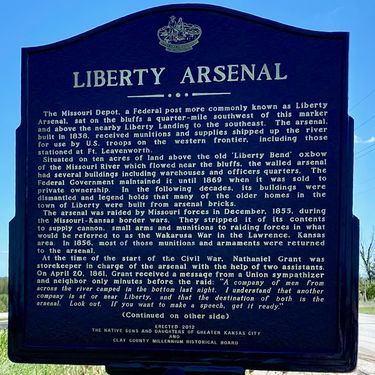
Liberty Arsenal (1836-1861) - A U.S. Army arsenal of deposit and a depot established in 1836 in present-day Liberty, Clay County, Missouri. Captured by Missouri secessionists in 1861 at the start of the U.S. Civil War. Also known as Missouri Ordnance Depot, Liberty Ordnance Depot, and Missouri Depot.
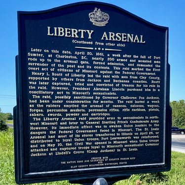
HistoryA U.S. Army arsenal of deposit and a depot established in 1836 at Liberty, Missouri. The arsenal was built by David M. Bevins and was described as built on the bluff just above Baxter's or Liberty Landing about three miles south of liberty. On 27 Nov 1855, a group of sixty pro-slavery men raided the Liberty Arsenal to secure weapons for the pre-civil war conflict in the Kansas Territory (Bleeding Kansas). The conflict was over the question of the addition of Kansas to the Union as a free state or as a slave state. John Brown, joined this conflict in 1855 as a fervent abolitionist and his failed attempt to seize the Harpers Ferry Arsenal and Armory in 1859 may have been inspired by the successful pro-slavery raid on Liberty Arsenal. Brown was hanged for treason, murder and inciting a slave insurrection in 1859 by the State of Virginia. The arsenal was again captured by about 200 armed Missouri secessionists on 20 Apr 1861, a week after the fall of Fort Sumter at the start of the U.S. Civil War. The greatly outnumbered post commander surrendered the depot without a fight and watched the secessionists strip the arsenal. The well-planned raid lasted a week with the raiders looting the arsenal of U.S. Government property that included cannons, small arms, equipment, tools, munitions, and more than 12,000 pounds of powder and 400,000 cartridges. The arsenal was not reestablished at the end of the U.S. Civil War. Current StatusNo visible remains in Liberty, Clay County, Missouri.
Sources: Links:
Visited: 17 Aug 2020 | |||||||


