Fort Shaw
|
Fort Shaw (1867-1891) - Established in 1867 as Camp Reynolds by Major William Clinton and four companies of the 13th U.S. Infantry along the south bank of the Sun River near the present day town of Fort Shaw, Cascade County, Montana. Renamed Fort Shaw 1 Aug 1867 after Colonel Robert G. Shaw, 54th Massachusetts Volunteer Infantry, who was killed before Fort Wagner (1) 18 Jul 1863 during the U.S. Civil War. Abandoned in 1891 and transferred to the Interior Department in 1892.
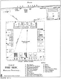
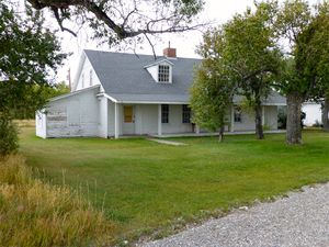
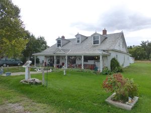
Fort Shaw History Established 30 Jun 1867 as a U.S. Army Infantry post by Major William Clinton and four companies of the 13th U.S. Infantry to prevent the movement of hostile Indians into settled areas and to protect the Fort Benton-Helena stage route. The post was built out as a four company open plan frontier fort with a square 400' parade surrounded by post buildings. The original post buildings surrounding the parade included four company barracks, six sets of duplex officer quarters, a commanding officer's quarters, a hospital, band quarters/guardhouse, quartermaster buildings and offices. The enlisted barracks occupied the north end of the post and the officer's quarters occupied the south end. The commanding officer's quarters and one duplex set of officer's quarters still exist. The stables and a bakery were among the out buildings around the perimeter of the post. The post was abandoned on 21 Jul 1891 and was transferred to the Interior Department 30 Apr 1892. It served as the Fort Shaw Government Industrial Indian School from 1892 until 1910 and then was granted to Cascade County School District No. 82 by Act of Congress (Act of 28 Feb 1919, public, No. 305).
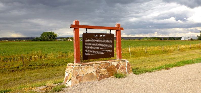
Current StatusThe commanding officer's quarters and one duplex set of officer's quarters still exist. Other period buildings are on the property but could not be associated with the two available plans. The two officers's quarters appear to be on private property while the west and north side of the post was overbuilt with a school. The east side contains a monument associated with the Indian school.
USGS Geographic Names Information System (GNIS) Database Entry: 774927
Sources:
Links: Visited: 26 Sep 2013
| ||||||


