Fort Phantom Hill
|
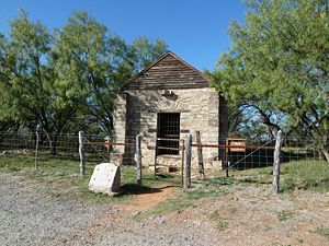
Fort Phantom Hill (1851-1854) (1861-1865) (1871-1872) - A U.S. Army post established in 1851 by Lt. Colonel John J. Abercrombie (Cullum 322), 5th U.S. Infantry, but never officially named as a fort. Also known as Post at Brazos and Post on the Clear Fork of the Brazos. Finally abandoned in 1872. Fort Phantom Hill HistoryA U.S. Army post established 14 Nov 1851 by Lt. Colonel John J. Abercrombie and five companies of the 5th U.S. Infantry. The post was poorly sited and fresh water was scarce from the start. The magazine, guardhouse, and commissary were built of locally quarried stone while the quarters and other buildings were of wood construction. Between 1851 and 1854 the post protected the trails to Sante Fe, and the California gold fields. The post was first abandoned on 6 Apr 1854 and mysteriously burned down shortly thereafter. Between 1858 and 1861 the remaining buildings on the site were used as a Butterfield Overland stage station number 54. During the U.S. Civil War the post was temporarily occupied by the Confederate Texas Mounted Rifles and the Texas Rangers. After the end of the war the post was regarrisoned by Federal troops and became a sub post of Fort Griffin (3) in 1871. The post was finally abandoned in 1872.
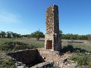
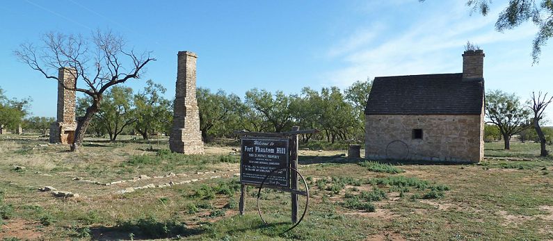
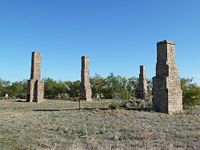
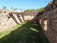
Current StatusThe fort remains are on private property but open to the public. No visitor center but brochures were available in a box on the guardhouse door. The commissary, guard house, and powder magazine buildings are still standing but only the guardhouse and the magazine have roofs. Other post buildings are represented by foundation stones and chimneys.
Sources:
Links: Visited: 15 Nov 2011
| ||||||
