Fort Parker (2)
|
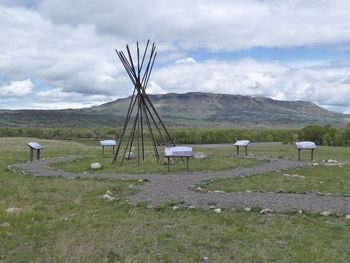
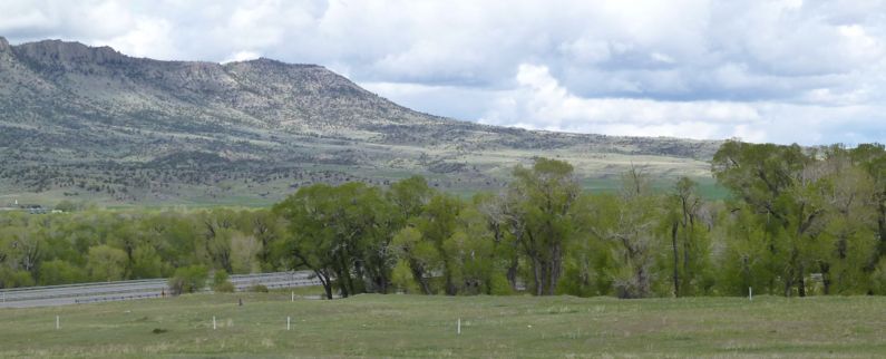
Fort Parker (2) (1869-1875) - First established in 1869 by U.S. Troops as a result of the 1868 Treaty of Laramie. Named after E.S. Parker, Commissioner of Indian Affairs. Abandoned in 1875. HistoryOriginally built as both a Fort and an Indian Agency to provide protection for the Crow Indians from their Indian enemies, the Sioux, Cheyenne, and Blackfoot. When the Agency was moved in 1875 to another location near the town of Absorkee, Fort Parker was abandoned. Current StatusNo buildings remain at the site but the Fort is outlined with white posts.
Sources:
Links: Fortification ID:
Visited: 16 Jul 2022, 25 May 2010
| |||||||


