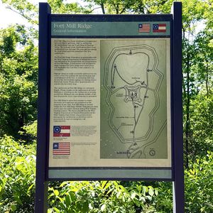
Fort Mill Ridge
|
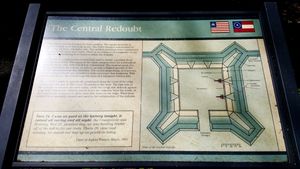
Fort Mill Ridge (1863-1865) - A Union U.S. Civil War Fort established in 1863 near Romney, Hampshire County, West Virginia. Named Fort Mill Ridge after the location. Abandoned in 1865 at the end of the war. HistoryA Union U.S. Civil War Fort that was built between March and June 1863 to protect the Mechanicsburg Gap and the South Branch Potomac Valley. The fort was established as an outer circle of entrenchments around a small central redoubt. The fort was armed with six, 3-inch rifled cannons. Two of the cannons were placed in the redoubt covering the approaches and the valley below. The gun battery was manned by Federal Battery E, 1st (West) Virginia Volunteer Artillery. Abandoned in 1865 at the end of the war.
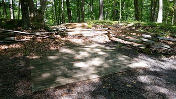
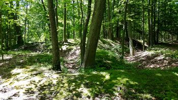
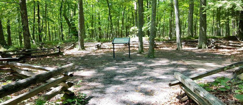
Current StatusPart of the Fort Mill Ridge Wildlife Management Area. Well preserved, but a bit overgrown, earthworks surrounding a central redoubt that is worn down but recognizable. Excellent descriptive panels.
See Also: Sources: Links: Fortification ID:
Visited: 31 May 2016
| ||||||
