Fort George (6)
|
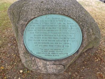
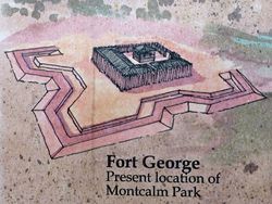
Fort George (6) (1755-1756) - A British French & Indian War fort established in 1755 by Lieutenant Colonel James Mercer in present day Oswego, Oswego County, New York. Captured and destroyed by the French in 1756. Also known as Fort Rascal, West Fort and Fort Beef. French & Indian War (1754-1763)Fort George was one of three British forts built at present-day Oswego where the Oswego River enters Lake Ontario. Fort Ontario was built on the east side of the Oswego River mouth while Fort Oswego and Fort George was built on the west side of the river mouth. Fort George was built as an outer work of Fort Oswego on high ground above that fort. It was never fully completed but it was planned as a 170 feet square log stockade enclosing log barracks and a watchtower and surrounded by earthworks. The garrison consisted of some 150 New York militiamen known as the "Jersey Blues" commanded by Colonel Peter Schuyler. The fort was surrendered by the British on 14 Aug 1756 after a land attack and bombardment from the Fort Ontario which the French had taken earlier. The British commander of Fort Oswego and Fort George, Lieutenant Colonel James Mercer, was killed by a French cannonball and his second-in-command, Lieutenant Colonel John Littehales surrendered to the French commander, Marquis de Montcalm.
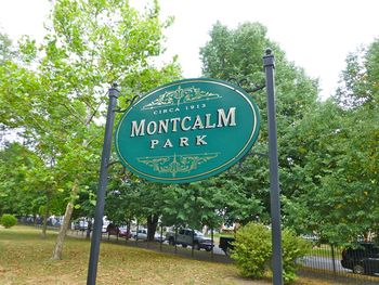
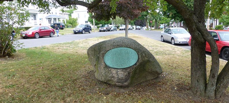
The loss of the three British forts at Oswego and the capture of some 1700 soldiers and civilians, 100 pieces of artillery, and seven ships dealt a severe but temporary blow to British influence over Lake Ontario. The British would return in 1759 and rebuild Fort Ontario but Fort Oswego and Fort George were not rebuilt. Current StatusTwo markers, a site marker located at the tip of Montcalm City Park and a second interpretive marker at the foot of Montcalm Street overlooking the lake, both in Oswego, Oswego County, New York.
See Also: Sources:
Links:
Visited: 28 Jul 2012
| ||||||


