File:Tierra Amarilla AFS Plan.jpg
From FortWiki

Size of this preview: 800 × 589 pixels.
Full resolution (1,284 × 946 pixels, file size: 160 KB, MIME type: image/jpeg)
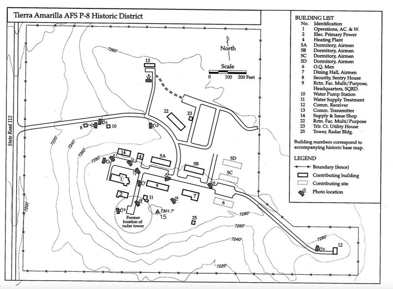
Tierra Amarilla AFS Plan, fair use, Re-use Study for Tierra Amarilla AFS P-8 Radar Site Historic District, September 23, 2003 Prepared by Cherry/See Architects for the New Mexico Historic Preservation Division
File history
Click on a date/time to view the file as it appeared at that time.
| Date/Time | Thumbnail | Dimensions | User | Comment | |
|---|---|---|---|---|---|
| current | 17:09, 10 April 2015 | | 1,284 × 946 (160 KB) | John Stanton (Talk | contribs) | Tierra Amarilla AFS Plan, fair use, Re-use Study for Tierra Amarilla AFS P-8 Radar Site Historic District, September 23, 2003 Prepared by Cherry/See Architects for the New Mexico Historic Preservation Division |
| 17:05, 10 April 2015 |  | 1,284 × 946 (160 KB) | John Stanton (Talk | contribs) | Tierra Amarilla AFS Plan, fair use, Re-use Study for Tierra Amarilla AFS P-8 Radar Site Historic District, September 23, 2003 Prepared by Cherry/See Architects for the New Mexico Historic Preservation Division |
- Edit this file using an external application (See the setup instructions for more information)
File usage
The following page links to this file: