File:Remains of No. 6 Radar Detachment, Louisbourg, Nova Scotia.jpg
From FortWiki
Size of this preview: 800 × 450 pixels.
Full resolution (3,583 × 2,016 pixels, file size: 1.72 MB, MIME type: image/jpeg)
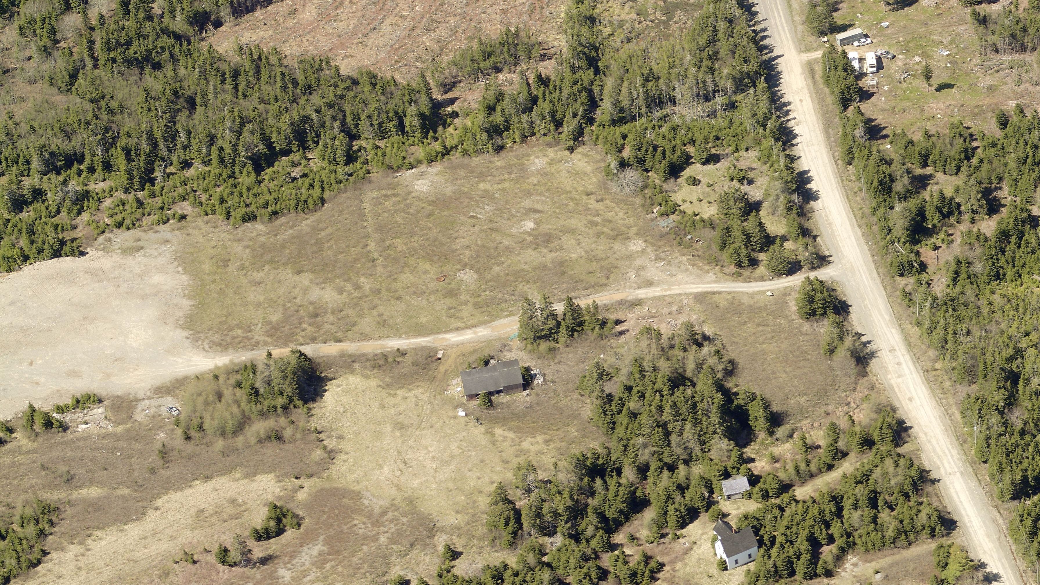
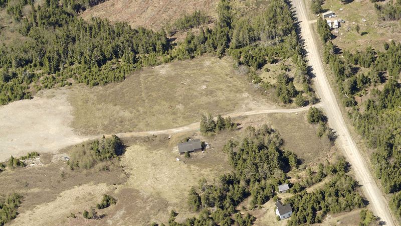
Aerial photo of the Louisbourg radar complex as it appears today.
6 RU - Louisbourg Radar Site (1942-1945) - A World War II Royal Canadian Air Force (RCAF) Radar Station established in 1942. Located inland, 2 miles northwest of Louisbourg, on Cape Breton Island, Nova Scotia. Initially assigned a Radar Detachment designation of 6 RD later changed to Radar Unit designation of RU.
File history
Click on a date/time to view the file as it appeared at that time.
| Date/Time | Thumbnail | Dimensions | User | Comment | |
|---|---|---|---|---|---|
| current | 23:15, 18 December 2017 | | 3,583 × 2,016 (1.72 MB) | Ken Heaton (Talk | contribs) | Aerial photo of the Louisbourg radar complex as it appears today. 6 RU - Louisbourg Radar Site (1942-1945) - A World War II Royal Canadian Air Force (RCAF) Radar Station established in 1942. Located inland, 2 miles northwest of Louisbourg, on Cape Bre... |
- Edit this file using an external application (See the setup instructions for more information)
File usage
The following page links to this file: